Oil spill model systems are used by industry and government to assist in planning and emergency decision making. Oil spill model prediction is highly dependent on an adequate description of the wind and current fields in the region of the spill.
Two oil spill models which Ocean Ecology is working with are described below.
ADIOS
ADIOS (Automated Data Inquiry for Oil) is an oil weathering model. It incorporates a database containing more than a thousand crude oils and refined products, and provides quick estimates of the expected characteristics and behavior of oil spilled into the marine environment. The predictions it makes, presented as both graphics and text, are designed to help answer questions that typically arise during spill response and cleanup. For example,
- By predicting change in an oil's viscosity (resistance to flow) over time, ADIOS offers an answer to the question: Can the oil still be dispersed with chemical dispersants?
- By predicting the rate of increase in an oil's water content over time, ADIOS offers an answer to questions like: If 1,000 gallons of crude oil has spilled, will more than 1,000 gallons of oil-and-water mixture need to be cleaned up and disposed of? How much more?
ADIOS can be used to estimate the effects of common cleanup techniques on spilled oil, such as chemically dispersing, skimming, or burning the oil, and it accounts for environmental processes which may remove the oil from the water column, such as sedimentation.
The ADIOS database includes estimates of the physical properties of oils and products. ADIOS uses mathematical equations and information from the database to predict changes in oil properties, such as density, viscosity, and water content, over time. It can also calculate the rates at which oil evaporates from the sea surface and disperses into the water, and the rate at which an oil-in-water emulsion may form. ADIOS was designed to make use of as little information as possible, and to use information that can quickly be estimated or obtained in the field, such as wind speeds, wave heights, water temperature, water salinity or density, the type and amount of oil or product spilled, and the rate and duration of the spill.

GNOME
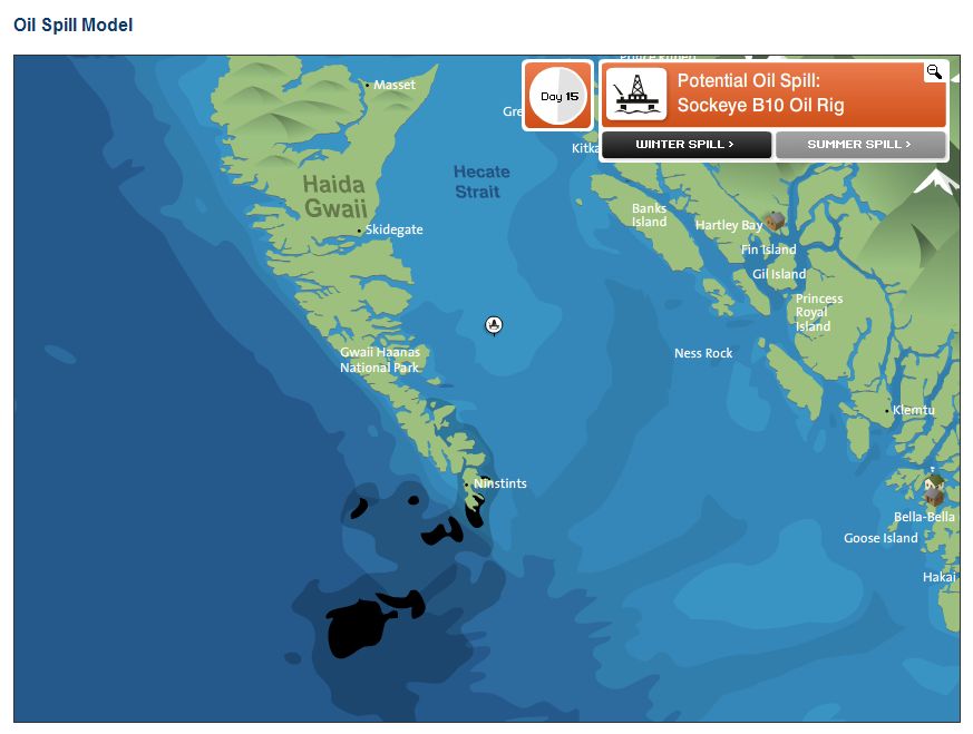
GNOME (General NOAA Operational Modeling Environment) is a oil spill trajectory model used by emergency responders during an oil spill. Trajectory modelers use GNOME to set up custom scenarios. GNOME can also be used to:
- predict how wind, currents, and other processes might move and spread oil spilled on the water.
- learn how predicted oil trajectories are affected by inexactness ("uncertainty") in current and wind observations and forecasts.
- see how spilled oil is predicted to change chemically and physically ("weather") during the time that it remains on the water surface.
Shown below is the oil spill trajectory for the Exxon Valdez oil spill as predicted by GNOME.
