
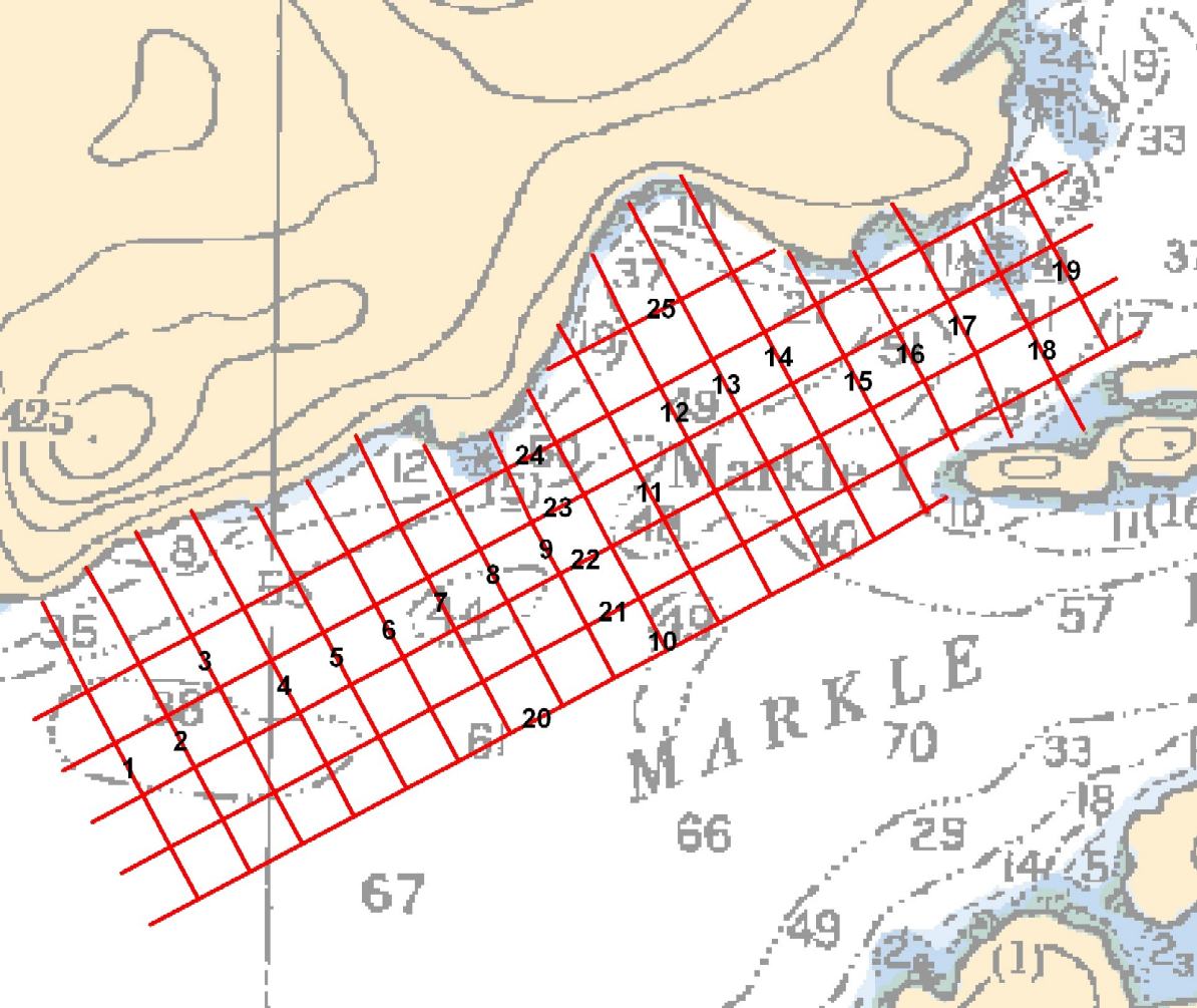
Using our GPS-positioned, towed video camera, we collected imagery of the seabed along a series of transects.
Author: blueseas
Habitat Mapping
Habitat Mapping
Much of the research work that Ocean Ecology was involved in could be described as habitat mapping. When habitat mapping is carried out in the marine environment, the product is generally referred to as a “benthic habitat map” – a “spatial representation of physically distinct areas of seafloor that are associated with particular groups of plants and animals.” (Harris and Baker. 2012. Seafloor geomorphology as benthic habitat GeoHAB atlas of seafloor geomorphic features and benthic habitats).
The term benthic refers to anything associated with or occurring on the bottom of a body of water. The animals and plants that live on or in the bottom are known as the benthos.
Ode to the Small Gasoline Engine

Having spent much of my life driving some form of gas guzzling vehicle around, I have become very aware at how inefficient these large gasoline engines can be, especially when used by single individuals for commuting in the city. However, only recently have I come to appreciate the value of the small, single cylinder gasoline engine that seems to run forever on a cup full of gas.
Building Sheds

Originally, we had planned on getting some sheds erected on our property shortly after our arrival. Our hope was to be able to unpack the hold in the Moody Blue, thus lightening her load and giving us access to much of our stuff. With this in mind, we purchased a couple of “cheap” shed units from Canadian Tire on our first trip to Campbell River.
An Unexpected Harvest

During our clearing of the land, we have been careful to preserve any fruit trees that we find. So far, we have discovered a Saskatoon tree and several crab apples.
Multibeam Sonar

Multibeam Sonar Theory
Mutibeam sonars, like side-scan sonars, use swath technology. However, unlike side-scan sonars, multibeam sonars produce better depth (bathymetry) data than backscatter data. Although backscatter is also recorded, the imagery acquired is generally of a lower quality than that recorded from side-scan sonars.
Sidescan Sonar

Sidescan Sonar Theory
Sidescan sonars use a swath of sound to esonify the seafloor. They differ from single-beam sounders in that they have a much larger footprint shape.
A 17 Hole Golf Course

“We haven’t got our cabin built yet. But we have the most important thing … a 17 hole golf course,” Ken jokes.
Single-beam Sounder

Echo Sounder Theory
A single-beam sounder calculates the depth below the ship using the time it takes a sound pulse to travel to the seafloor, reflect, and then return back to the transducer.
The Float

What a week of chaos! It started with an “emergency” run to Campbell River to get new starting batteries for the Moody Blue. Then, immediately afterwards, the northwest gale picked up again, this time with real intent. We started getting gusts of up to 40 knots blowing in towards shore. That’s when our anchor, which had been holding fine for the past two months, decided to drag.